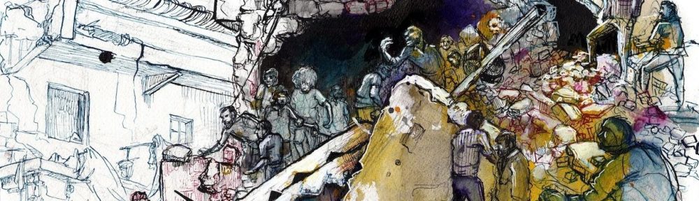
After the US invasion of Iraq there were all sorts of artistic interventions that sought to bring home to Americans what was happening in Baghdad. I described some of them in ‘War and peace’ (DOWNLOADS tab), noting that many of them seemed to take their cue from Martha Rosler‘s double photomontage of ‘Bringing the war home’, in which she re-staged first Vietnam and then the Iraq war in American domestic interiors:
Captives are paraded around gleaming kitchens on leashes, combat troops stalk in living rooms, while beyond the drapes fires flicker, a grieving woman slumps on the deck, and an Army patrol files by. Domestic critics have frequently noted the interchange between security regimes inside and outside the United States; they insist that the ‘war on terror’ ruptures the divide between inside and outside, and draw attention to its impact not only ‘there’ but also ‘here’. But Rosler’s sharper point is to goad her audience beyond what sometimes trembles on the edge of a critical narcissism (‘we are vulnerable too’) to recognise how often ‘our’ wars violate ‘their’ space: her work compels us to see that what she makes seem so shocking in ‘our’ space is all too terrifyingly normal in ‘theirs’.
Several projects made cartographic transpositions or mash-ups: superimposing the bombing of Baghdad on San Francisco (Paula Levine‘s Shadows from another place) or Boston (Alyssa Wright‘s Cherry Blossoms), for example, or choreographing a situationist tour of Baghdad in Brooklyn. I’ve been more hesitant about these interventions; I know that these three projects were linked to – and in the last case depended on – ground performances, and I know too that it’s possible to undo the abstractness of conventional cartography, to turn it against itself (here I’m thinking of elin o’Hara slavick‘s brilliant Bomb after bomb).

I’ve now seen a different cartographic transposition that dramatizes the firebombing of Japan during the Second World War by juxtaposing a map of the United States with a map of Japan. Almost as soon as the war was over there were several visualizations of a nuclear attack on US cities. The image below comes from Collier’s Magazine in 1950, for a cover story called ‘Hiroshima, USA’; you can access the original here and read more here. But projects like these still deflect the critical gaze from the horror of what happened there to the horror of what might happen here. Indeed, that was precisely the point, as Joseph Masco shows in his brilliant essay, ‘”Survival is Your Business”: Engineering ruins and affect in nuclear America’, Cultural Anthropology 23:2 (2008) 361-98; reprinted in Ann Laura Stoler (ed), Imperial debris: on ruins and ruination (Duke, 2013).

The problem is redoubled in the case of Hiroshima and Nagasaki, because those two hideous mushroom clouds have so often blocked our view of the firebombing of Japanese cities that preceded the two nuclear attacks. Here the work of David Fedman and Cary Karacas on bombing Japan is indispensable, not least for its illuminating discussion of the central role of cartography (see Cary’s bilingual historical archive here).
In fact in 1945 the United States Air Force produced a map in which the earlier bombing campaign was projected on to a map of the United States:

And this was the starting-point for Alex Wellerstein‘s remarkable intervention, whose critical force comes precisely from its juxtaposition (rather than simple superimposition) of the two maps: what happened in Japan is visibly there, magnified rather than marginalized through the map of the continental United States. In fact, when you click on the interactive a line appears linking an American city to its equivalent target-city in Japan:


Pingback: Fwd: The blue sky of Hiroshima | Maine Talk
Pingback: The blue sky of Hiroshima | geographical imaginations
Pingback: Gazonto | geographical imaginations
Pingback: War comes home | geographical imaginations