
For more on the role of forensic architecture in the analysis of drone strikes, which I discussed earlier this week, see Rebecca Chao‘s report – including an interview with Eyal Weizman – at TechPresident here. The report includes an interesting qualification about the limitations of satellite imagery:
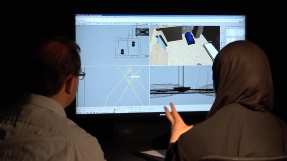
The drone analysis videos are not only evidential, however. They are also instructional. “These videos,” says Weizman, “do three things. We undertake the investigation while telling viewers how we do what we do and in the end we also reflect on how confident we are about the results.”
The purpose is to teach human rights activists or journalists how to conduct their own forensic architectural investigations. For example, the highest resolution satellite imagery comes from private American companies that cost $1,000 per image, which Weizman says is relatively affordable since an analysis would usually require just two: one right before the strike and one after.
There are certainly limitations to the data they obtain, however. With satellite imagery, for example, even the highest resolution images degrade to a pixel that translates to 50 cm by 50 cm of actual terrain. This means that a drone could easily hide undetected in one of those pixels, says Weizman…. [It] also hides the damage caused by drone strikes. When asked if this an uncanny coincidence, Weizman explains, that while there is prerogative for states and militaries to maintain an advantage, that pixel is also proportioned to hide a human and the private companies issuing such data are cognizant of privacy issues. Even so, this allows countries to deny drone strikes, says Weizman, because drones are beyond the threshold of detectability in the available satellite imagery.
And while I’m on the subject of architecture, the Guardian reports that on 19 March the Royal Institute of British Architects called for the suspension of the Israeli Association of United Architects from the International Union of Architects for its complicity in the construction of illegal settlements in occupied Palestine: what Israel consistently calls ‘the facts on the ground‘. And those dismal ‘facts‘ aren’t hiding in the pixels.
