
Two short, accessible essays on bombing that appeared in the New York Times recently; they resonate with my work on the genealogies and geographies of aerial violence, and they are both beautifully composed and immensely suggestive.
First, Teju Cole on ‘The Unquiet Sky‘:
A view from a great height is irresistible. It is twinned with the ancient dream of flight. For millenniums, we have imaginatively soared above our material circumstances and dramatized this desire in tales from Icarus to Superman. Things look different from way up there. What was invisible before becomes visible: how one part of the landscape relates to another, how nature and infrastructure unfold. But with the acquisition of this panoptic view comes the loss of much that could be seen at close range. The face of the beloved is but one invisible detail among many.
The essay closes with a reflection on two aerial photographic projects, the collection of drone-shot images exhibited at Dronestagram and James Bridle‘s reconstruction of drone-strike imagery at Dronestagram:
The two Dronestagrams, the sanguine and the melancholic, add to our ever increasing archive of possible landscapes. Imagine all those pictures stitched together into a single image. In this ideal aerial view, neither the pervasive violence nor the sometimes cloying prettiness would be visible. Conquest and sentimentality would both be irrelevant. In other words, the image might be like the ‘‘blue marble’’ photograph of Earth, taken from the Apollo 17 spacecraft in 1972. It is our world, serene and self-contained, seen in one glance. It is not a view that excites us into plans for bombing our enemies, for it includes us as well. It is a view that reminds us of how mighty we are, how fragile, how delicately connected and how beautiful.
Actually, I don’t see the ‘blue marble’ photograph in that way at all: as I argued in Geographical Imaginations, this is the global North inspecting the global South (it was, after all, shot from a NASA platform). But Teju’s penultimate sentence is key, and it intersects with thoughts suggested by the second essay.
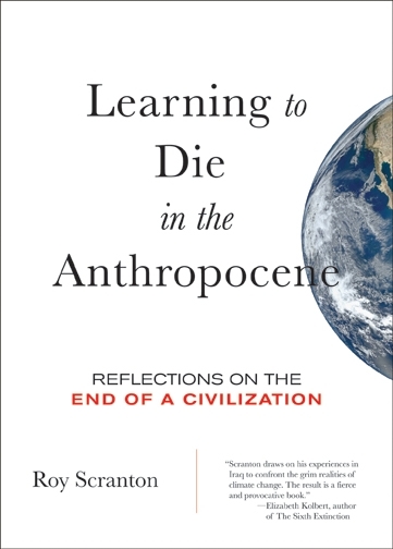 Second, then, Paul Saint-Amour‘s ‘Waiting for the bomb to drop‘. Spiralling through some of my favourite authors, Paul ends with a reflection on Roy Scranton‘s ‘Learning how to die in the Anthropocene‘ (see here and here too), which he suggests may be the equivalent of Virginia Woolf‘s ‘“Thoughts on Peace in an Air Raid” for our day’:
[I]n scaling up from one person to all humanity, we pass through a middle range — the social and political, Woolf’s home turf — where both connections and distinctions between people come into play. Yes, we are all at risk in climate change. But like our exposure to military violence, that risk is distributed unevenly. It falls disproportionately on those with the least protection from extreme weather, rising sea levels, hunger, drought, disease, displacement and the conflicts that can arise from all of these. Simply put, it falls most heavily on the poor.
With philosophy’s help, I am prepared to tell myself, “I must learn how to die.” I may even be ready to say to humanity, “We as a species must learn how to die.” But it is a different thing altogether to say to another person, “Because of how I live, or because of actions undertaken in my name, you need to learn how to die more than I do. And you must bear, more than I do, the cognitive and emotional burdens of a life lived in the shadow of imminent death.” This is what the rich are saying every day to the poor. It’s what whites in the United States and elsewhere are saying every day to people of color. It’s what citizens of drone states are saying to those a hemisphere away, under the drones.


